Publications
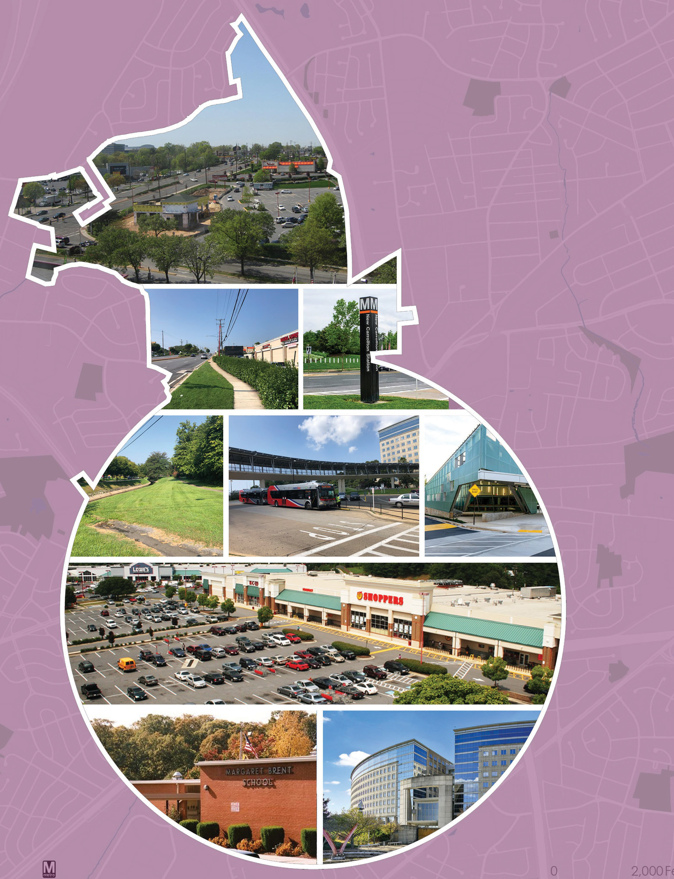
Westphalia Scorecard
Title:
Westphalia Scorecard
Author:
The Maryland-National Capital Park and Planning Commission<
Prince George's County Planning Department
Source of Copies:
The Maryland-National Capital Park and Planning Commission
14741 Governor Oden Bowie Drive
Upper Marlboro, MD 20772
Number of Pages:
8
Related Documents:
MD 704 (Martin Luther King Jr. Hwy) Streetscape Enhancement 30% Design and Engineering Report

Title:
MD 704 (Martin Luther King Jr. Hwy) Streetscape Enhancement 30% Design and Engineering Report
Author:
The Maryland-National Capital Park and Planning Commission<
Prince George's County Planning Department
Publication Date:
10/01/2019
Source of Copies:
The Maryland-National Capital Park and Planning Commission
14741 Governor Oden Bowie Drive
Upper Marlboro, MD 20772
Number of Pages:
36
The Maryland-National Capital Park and Planning Commission, Prince George’s County Planning Department, Community Planning Division has initiated a project through the Planning Assistance to Municipalities and Communities (PAMC) program to identify and design streetscape improvements along MD 704 (Martin Luther King Jr. Highway) within the limits of the City of Seat Pleasant. In 2012, the Maryland State Highway Administration (MDOT-SHA) awarded a project to construct a road diet along MD 704 (Martin Luther King Jr. Highway) from Eastern Avenue/Washington, D.C. Line to Hill Road under contract number PG6995176. The MDOT-SHA project reduced the number of through lanes from three to two in each direction from Addison Road (South) to west of Hill Road. Through the limits of the lane reduction, a seven-foot-median shoulder was established with pavement markings in each direction. The PAMC project seeks to repurpose the additional marked median space and utilize available right-of-way to better accommodate all modes of transportation. This report describes the goals, history, and recommendations for the MD 704 (Martin Luther King Jr. Highway) Streetscape Enhancement project. This project was funded through the PAMC program administered by the Prince George’s County Planning Department.
Related Documents:
Looking Back, Moving Forward

Title:
Looking Back, Moving Forward
Author:
The Maryland-National Capital Park and Planning Commission<
Prince George's County Planning Department
Publication Date:
12/01/2012
Source of Copies:
The Maryland-National Capital Park and Planning Commission
14741 Governor Oden Bowie Drive
Upper Marlboro, MD 20772
Number of Pages:
92
This report begins the process of providing necessary background information as the Prince George’s County Planning Department undertakes the task of updating the 2002 Prince George’s County Approved General Plan. Looking Back, Moving Forward analyzes the goals, policies, and strategies of the 2002 General Plan and measures the county’s success over the past ten years in achieving its established land use benchmarks. This report identifies county land use challenges and opportunities related to development pattern, environmental infrastructure, transportation infrastructure, public facilities, economic development, housing and community character. It also summarizes national, regional, as well as county economic and demographic trends; and starts to identify important questions about where and how the county will grow over the next 20 years.
Related Documents:
List of Free Blacks in Prince Georges County 1790-1860
Title:
List of Free Blacks in Prince Georges County 1790-1860
Author:
The Maryland-National Capital Park and Planning Commission<
Prince George's County Planning Department
Publication Date:
06/01/2019
Source of Copies:
The Maryland-National Capital Park and Planning Commission
14741 Governor Oden Bowie Drive
Upper Marlboro, MD 20772
Number of Pages:
130
This document is a compilation of free black entries in the federal censuses for Prince George’s County, Maryland from 1790 to 1860. It was prepared by The Ottery Group, Inc., as part of a contract with The Maryland-National Capital Park and Planning Commission, Prince George’s County Planning Department, to document the history of antebellum plantations. Entries from each census year have been tabulated; each table is unique to a particular census year. The purpose of this document is to assist researchers focusing on the historically small, but significant, free black population in the county. If used in combination with other primary historical records such as maps, land records, tax records, etc., these tables represent a useful tool for genealogical and historical research, as well as for locating the physical remnants of the lives of the free blacks across the landscape of Prince George’s County in the pre-civil war era.
Langley Park Neighborhood Bicycle Boulevards: Existing Conditions Report

Title:
Langley Park Neighborhood Bicycle Boulevards: Existing Conditions Report
Author:
The Maryland-National Capital Park and Planning Commission
Prince George's County Planning Department
Publication Date:
03/01/2021
Source of Copies:
The Maryland-National Capital Park and Planning Commission
1616 McCormick Drive
Largo, MD 20774
Number of Pages:
42
The overarching aim of this project is to improve bicycle and pedestrian connectivity to the proposed Riggs Road Purple Line station and other activity centers in the area. This report documents existing conditions, identifies issues and opportunities, and explains the next steps in the planning process. This project is supported by the Metropolitan Washington Council of Government’s (MWCOG) Transportation Land Use Connections (TLC) Program.
Related Documents:
Langley Park Neighborhood Bicycle Boulevards

Title:
Langley Park Neighborhood Bicycle Boulevards
Author:
The Maryland-National Capital Park and Planning Commission
Prince George's County Planning Department
Publication Date:
06/01/2021
Source of Copies:
The Maryland-National Capital Park and Planning Commission
1616 McCormick Drive
Largo, MD 20774
Number of Pages:
69
The aim of this project is to improve bicycle and pedestrian connectivity to the proposed Riggs Road Purple Line station and other activity centers in this area. This report documents existing conditions, identifies issues and opportunities, explains design alternatives, and documents the prioritization process used to identify the preferred design alternatives and spot improvements for the study segments. This project is supported by the Metropolitan Washington Council of Government’s (MWCOG) Transportation Land Use Connections (TLC) Program.
Landmarks of Prince George's County Johns Hopkins University Press (1993)

Title:
Landmarks of Prince George's County Johns Hopkins University Press (1993)
Author:
The Maryland-National Capital Park and Planning Commission<
Prince George's County Planning Department
Publication Date:
01/01/1993
Source of Copies:
The Maryland-National Capital Park and Planning Commission
14741 Governor Oden Bowie Drive
Upper Marlboro, MD 20772
This report is printed by special request. Price will vary based on original report and additional pages. Cover page images and report description are not available at this time. Publications are available for purchase at the M-NCPPC Planning Information Services, located on the Lower Level Floor (L) of the County Administration Building, Upper Marlboro, MD (now accepting payment Mastercard and Visa credit cards). If you have any question, please feel free to contact the Planning Information Counter at (301) 952-3195.
Document not available for download.
Kenilworth Avenue and Town of Cheverly Industrial Study
Title:
Kenilworth Avenue and Town of Cheverly Industrial Study
Author:
The Maryland-National Capital Park and Planning Commission
Prince George's County Planning Department
Publication Date:
09/01/2005
Source of Copies:
The Maryland-National Capital Park and Planning Commission
14741 Governor Oden Bowie Drive
Upper Marlboro, MD 20772
Number of Pages:
140
The Kenilworth Avenue and Town of Cheverly Industrial Study provides an implementation strategy for revitalizing this older industrial area. It offers recommendations on what industries or businesses may be appropriate for the area, how to attract these uses, and what infrastructure and environmental improvements may be required.
Related Documents:
Joint Base Andrew Maryland Air Installations Compatible Use Zones Study

Title:
Joint Base Andrew Maryland Air Installations Compatible Use Zones Study
Author:
The Maryland-National Capital Park and Planning Commission
Prince George's County Planning Department
Publication Date:
12/01/2017
Source of Copies:
The Maryland-National Capital Park and Planning Commission
14741 Governor Oden Bowie Drive
Upper Marlboro, MD 20772
Number of Pages:
104
This study is an update of the 2007 Joint Base Andrews (JBA) Air Installations Compatible Use Zones (AICUZ) Study. This AICUZ Study reaffirms the United States Air Force policy of assisting local, regional, state, and federal officials in the areas surrounding JBA by promoting compatible development within the AICUZ area of influence, and protecting Air Force operational capability from the effects of land use that are incompatible with aircraft operations. The information provided in this AICUZ Study is intended to assist local communities with future planning. The study presents the updated aircraft operations at JBA, which are based on optimized 2016 flight operations and documents changes to flight operations, noise exposure areas, accident potential, and land use compatibility conditions since the previous AICUZ Study.
Related Documents:
lllustrated Inventory of Historic Sites and Districts, Prince George's County, Maryland
Title:
lllustrated Inventory of Historic Sites and Districts, Prince George's County, Maryland
Author:
The Maryland-National Capital Park and Planning Commission
Publication Date:
04/01/2011
Source of Copies:
The Maryland-National Capital Park and Planning Commission
14741 Governor Oden Bowie Drive
Upper Marlboro, MD 20772
Number of Pages:
293
This book presents the historic sites, historic districts, and archeological sites that are protected by the Prince George’s County Historic Preservation Ordinance, Subtitle 29 of the Prince George’s County Code. Each entry includes a photograph, description, and brief statement of historic significance.




 Westphalia Snapshot booklet- 8.5 x 11 v4d