Publications
Image Carousel


Publications Information
Urban Agriculture: A Tool for Creating Economic Development and Healthy Communities in Prince George's County, MD

Title:
Urban Agriculture: A Tool for Creating Economic Development and Healthy Communities in Prince George's County, MD
Author:
The Maryland-National Capital Park and Planning Commission
Prince George's County Planning Department
Publication Date:
09/01/2012
Source of Copies:
The Maryland-National Capital Park and Planning Commission
14741 Governor Oden Bowie Drive
Upper Marlboro, MD 20772
Number of Pages:
168
This report introduces the concept of urban agriculture, presents its characteristics, and discusses its relationship to food system planning, sustainability, and public health. A sample of innovative community-based urban agriculture projects around the nation and in Prince George’s County serves to show the hands-on implementation of the concept. Planning and public policy for urban agriculture are discussed along with possible actions that planners and policy makers may take to support it. This is supplemented by the nation’s best local government practices for incorporating urban agriculture into urban and suburban areas. Guided by the experience of other jurisdictions, specific policy recommendations suited to Prince George’s County are developed and presented along with strategies in the concluding chapter of the report.
Related Documents:
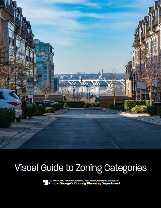
Visual Guide to Zoning Categories (December 2024)
Title:
Visual Guide to Zoning Categories (December 2024)
Author:
The Maryland-National Capital Park and Planning Commission
Prince George's County Planning Department
Publication Date:
11/01/2024
Source of Copies:
The Maryland-National Capital Park and Planning Commission
1616 McCormick Drive
Largo, MD 20774
Number of Pages:
16
The Visual Guide to Zoning Categories represents the new Prince George’s County Zoning Ordinance zoning categories following the update to the zoning code in 2022.
Related Documents:
Victorian Pattern Book Houses in Prince George's County
Title:
Victorian Pattern Book Houses in Prince George's County
Author:
The Maryland-National Capital Park and Planning Commission
Prince George's County Planning Department
Publication Date:
04/01/1988
Source of Copies:
The Maryland-National Capital Park and Planning Commission
14741 Governor Oden Bowie Drive
Upper Marlboro, MD 20772
Number of Pages:
84
This study will concentrate on the Victorian pattern-book house plans of R.W. Shoppell and their use in Prince George’s County, Maryland; it will serve as an introduction to the recent survey of Sears houses in the same area of the County. It is part of the on-going research projects of the Prince George’s Historic Preservation Commission, implemented by the Planning Department of the Maryland-National Capital Park and Planning Commission with a matching grant from the Certified Local Government Program of the Maryland Historical Trust.
Document not available for download.
Upper Marlboro Town Action Plan

Title:
Upper Marlboro Town Action Plan
Author:
The Maryland-National Capital Park and Planning Commission
Prince George's County Planning Department
Publication Date:
09/01/2009
Source of Copies:
The Maryland-National Capital Park and Planning Commission
14741 Governor Oden Bowie Drive
Upper Marlboro, MD 20772
Number of Pages:
200
The Upper Marlboro Town Action Plan comprises text, maps, illustrations, and pictures. Developed with broad public participation, including a citizen’s advisory committee in addition to outreach to the general citizens and business community, this document presents background information and recommends goals, strategies, and action pertaining to land use, parks and recreation, transportation, trails, public facilities, historic preservation.
Related Documents:
 A-Front Matter
B-Introduction
C-Listening and Examining
D-Population Land Use and Zoning
E-Urban Design and the Public Realm
F-Urban Design Continued
G-Transportation and Infrastructure
H-Historic Preservation
I-Economic Development
J-Economic Development Continued
K-Public Finance and Intergovernmental Coordination
L-Implementation Strategies
M-Conclusion
N-Appendix 1
O-Appendix 2
P-Appendix 3
Q-Appendix 4
R-Appendix 5
S-Appendix 6
A-Front Matter
B-Introduction
C-Listening and Examining
D-Population Land Use and Zoning
E-Urban Design and the Public Realm
F-Urban Design Continued
G-Transportation and Infrastructure
H-Historic Preservation
I-Economic Development
J-Economic Development Continued
K-Public Finance and Intergovernmental Coordination
L-Implementation Strategies
M-Conclusion
N-Appendix 1
O-Appendix 2
P-Appendix 3
Q-Appendix 4
R-Appendix 5
S-Appendix 6
2010 Glenn Dale-Seabrook-Lanham and Vicinity Approved Sector Plan and Sectional Map Amendment
Title:
2010 Glenn Dale-Seabrook-Lanham and Vicinity Approved Sector Plan and Sectional Map Amendment
Author:
The Maryland-National Capital Park and Planning Commission
Prince George's County Planning Department
Publication Date:
03/01/2010
Source of Copies:
The Maryland-National Capital Park and Planning Commission
14741 Governor Oden Bowie Drive
Upper Marlboro, MD 20772
Number of Pages:
308
This document is the Approved Sector Plan and Approved Sectional Map Amendment (SMA) for Glenn Dale-Seabrook-Lanham and Vicinity (portion of Planning Area 70). The sector plan and SMA amend portions of the 1993 Approved Master Plan and Sectional Map Amendment for Glenn Dale-Seabrook-Lanham and Vicinity (Planning Area 70). Developed with the assistance of the community, this document recommends goals, policies, strategies, and actions pertaining to development patterns, zoning, environmental infrastructure, transportation systems, public facilities, parks and recreation, economic development, historic preservation, and community character. The SMA proposes zoning changes to implement the recommendations of the sector plan.
Related Documents:
Glenarden: The Past in Perspective

Title:
Glenarden: The Past in Perspective
Author:
The Maryland-National Capital Park and Planning Commission
Prince George's County Planning Department
Publication Date:
10/01/1995
Source of Copies:
The Maryland-National Capital Park and Planning Commission
14741 Governor Oden Bowie Drive
Upper Marlboro, MD 20772
Number of Pages:
29
This report summarizes the history and development of the Town of Glenarden, the forms a companion piece to the marketing quested by the municipality. It was produced by the Historic Preservation Section of Department through the Planning Assistance to Municipalities and Communities which produced the marketing brochure. The report consists of a brief history of the Glenarden community, beginning with construction of the Washington, Baltimore and electric railroad in 1908, and the subdivisions which followed in 1911 and 1913. It explains the beginnings of Glenarden in the context of other African-American communities developing during the same period, and gives a demographic profile of the new community in 1920. The report is supplemented by plats dating from 1940, as well as a transcription of Population Census for Glenarden in 1920.
Related Documents:
Tuxedo Road/Arbor Street/Cheverly Metro Area Approved Sector Plan and Sectional Map Amendment

Title:
Tuxedo Road/Arbor Street/Cheverly Metro Area Approved Sector Plan and Sectional Map Amendment
Author:
The Maryland-National Capital Park and Planning Commission
Prince George's County Planning Department
Publication Date:
04/01/2005
Source of Copies:
The Maryland-National Capital Park and Planning Commission
14741 Governor Oden Bowie Drive
Upper Marlboro, MD 20772
Number of Pages:
192
This document contains text and maps of the Approved Sector Plan and Sectional Map Amendment for the Tuxedo Road/Arbor Street/Cheverly Metro Area. The plan amends portions of the 1994 Approved Master Plan and Sectional Map Amendment for Bladensburg New Carrollton and Vicinity (Planning Area 69) and the 1993 Approved Master Plan and Sectional Map Amendment for Landover and Vicinity (Planning Area 72). This document describes existing plans and policies for the area and analyzes land use, zoning, transportation, environment, urban design, and public facilities. It proposes flexible land use and zoning regulations that encourage revitalization and redevelopment of the Tuxedo Road industrial area and Arbor Street commercial area and promotes transit-oriented development in the vicinity of the Cheverly Metro Station. A proposed Development District Overlay Zone (DDOZ) containing design standards and a table of uses are included to help facilitate the implementation of the plan’s land use and community character recommendations.
General Plan Growth Policy Update Prince George's County
Title:
General Plan Growth Policy Update Prince George's County
Author:
The Maryland-National Capital Park and Planning Commission
Prince George's County Planning Department
Publication Date:
09/01/2008
Source of Copies:
The Maryland-National Capital Park and Planning Commission
14741 Governor Oden Bowie Drive
Upper Marlboro, MD 20772
Number of Pages:
47
The General Plan Growth Policy Update is a progress report on the implementation of the 2002 Prince George’s County Approved General Plan. In 2000, Prince George’s County adopted the Biennial Growth Policy Plan, which helps keep policies up-to-date and implementation efforts on track. This report is the second Growth Policy Update completed since the approval of the 2002 General Plan. It contains a Highlights section that summarizes the progress for each General Plan Element. The Monitoring Progress section shows in detail how well the county is meeting the measurable objectives contained in the General Plan objectives. The Appendix provides a brief description of planning projects and studies that support the General Plan and have been completed, are underway, or are in the preplanning stage.
Related Documents:
Tri-Agency Cross Reference of Recorded Plats

Title:
Tri-Agency Cross Reference of Recorded Plats
Author:
The Maryland-National Capital Park and Planning Commission
Prince George's County Planning Department
Source of Copies:
The Maryland-National Capital Park and Planning Commission
14741 Governor Oden Bowie Drive
Upper Marlboro, MD 20772
This report is printed by special request. Price will vary based on original report and additional pages. Cover page images and report description are not available at this time. Publications are available for purchase at the M-NCPPC Planning Information Services, located on the Lower Level Floor (L) of the County Administration Building, Upper Marlboro, MD (now accepting payment Mastercard and Visa credit cards). If you have any question, please feel free to contact the Planning Information Counter at (301) 952-3195.
Document not available for download.
Transportation Review Guidelines, Part 2 2013
Title:
Transportation Review Guidelines, Part 2 2013
Author:
The Maryland-National Capital Park and Planning Commission
Prince George's County Planning Department
Publication Date:
05/01/2013
Source of Copies:
The Maryland-National Capital Park and Planning Commission
14741 Governor Oden Bowie Drive
Upper Marlboro, MD 20772
Number of Pages:
86
Draft guidelines for evaluating the adequacy of bicycle and pedestrian facilities in Centers and Corridors consistent with CB-2-2012 and the 2009 Approved Countywide Master Plan of Transportation.
Related Documents: