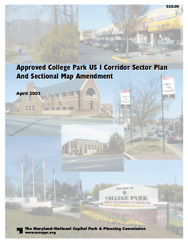
2002 College Park US 1 Corridor Approved Sector Plan and Sectional Map Amendment

Title:
2002 College Park US 1 Corridor Approved Sector Plan and Sectional Map Amendment
Author:
The Maryland-National Capital Park and Planning Commission<
Prince George's County Planning Department
Publication Date:
04/01/2002
Source of Copies:
The Maryland-National Capital Park and Planning Commission
1616 McCormick Drive
Largo, MD 20774
Number of Pages:
312
This sector plan amends the 1989 Approved Master Plan and the 1990 Adopted Sectional Map Amendment for Langley Park, College Park and Greenbelt (Planning Areas 65, 66 and 67) for the sector area only. The plan also amends the 1982 Master Plan of Transportation and the 1975 Countywide Trails Plan. It was developed by the commission with the assistance of the College Park US 1 Corridor Advisory Planning Group. This document describes existing plans and policies, and analyzes land use, environment, zoning, population, housing, economic conditions, and impacts on public facilities. The plan incorporates Smart Growth planning principles and is in harmony with the concepts put forth in the Commission 2000 Biennial Growth Policy Plan report (July 2000) and the Biennial Growth Policy Plan adopted by the County Council in November 2000. It also implements concepts and recommendations contained within the City of College Park’s 1995 Comprehensive Plan, which ended a three-year planning process to determine the city’s future and desired development character for the US 1 corridor and town center. The document establishes a flexible land use and zoning concept that can respond to changing real estate market conditions. A Development District Overlay Zone (DDOZ) containing design standards and a table of permitted and prohibited uses are incorporated as part of the sectional map amendment (SMA). Together the DDOZ and SMA implement the sector plan’s land use and development character recommendations.An economic development strategy offers guidance in implementation of the desired land use and development character recommendations.

 CPWholePlan_web