Publications
Image Carousel


Publications Information
2024 Route 1 Corridor Redevelopment Study: Final Recommendations Report

Title:
2024 Route 1 Corridor Redevelopment Study: Final Recommendations Report
Author:
The Maryland-National Capital Park and Planning Commission<
Prince George's County Planning Department
Publication Date:
09/01/2024
Source of Copies:
The Maryland-National Capital Park and Planning Commission
1616 McCormick Drive
Largo, MD 20774
Number of Pages:
124
This report is the culmination of more than a year-long study of the Route 1 Land Redevelopment area that spans the Route 1 corridor from Quimby Avenue to Sunnyside Avenue, adjacent to the Beltsville Agricultural Research Center and surrounding neighborhoods in Prince George’s County, Maryland. The final recommendations in this report are based on a review of current and past plans for the area specifically the 2010 Approved Master Plan and Sectional Map Amendment for Subregion 1, a look at existing conditions along the corridor, community input from multiple workshops, and ongoing involvement of residents, property owners and coordination with stakeholders and government officials. The strategies and recommendations are intended to guide development and strategic planning along the corridor that aligns with the community’s vision, with the overall objective that investment along Route 1 and nearby neighborhoods will create a safe transit-way with its own identity that serves the area’s diverse needs. Consultants: Smart Growth America The Neighborhood Design Center
Related Documents:
 Route 1 Corridor Redevelopment Report
Bowie-Mitchellville and Vicinity Master Plan: Existing Conditions Report
Title:
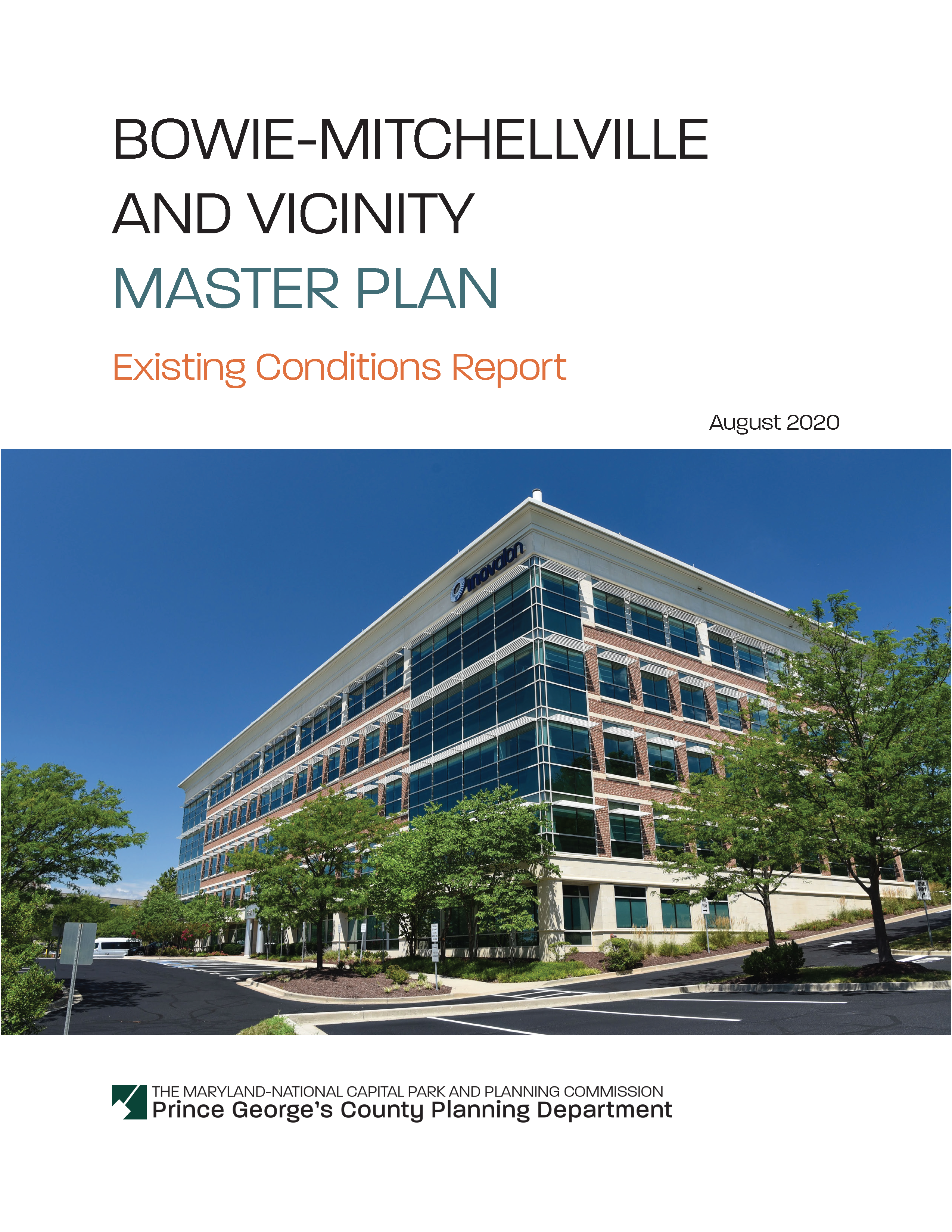
Bowie-Mitchellville and Vicinity Master Plan: Existing Conditions Report
Author:
The Maryland-National Capital Park and Planning Commission
Prince George's County Planning Department
Publication Date:
08/01/2020
Source of Copies:
The Maryland-National Capital Park and Planning Commission
1616 McCormick Drive
Largo, MD 20772
Number of Pages:
296
The intent of the document is to analyze existing conditions for the Bowie-Mitchellville and Vicinity area using the eight planning elements outlined in the 2014 Plan Prince George’s 2035 Approved General Plan. The project will cover four planning areas in the northeastern part of the County: PA 71A: Bowie and Vicinity, PA 71B: City of Bowie, PA 74A: Mitchellville and Vicinity, and PA 74B: Collington and Vicinity.
2024 Berwyn Heights Pedestrian and Bicycle Safety Improvement Action Plan
Title:
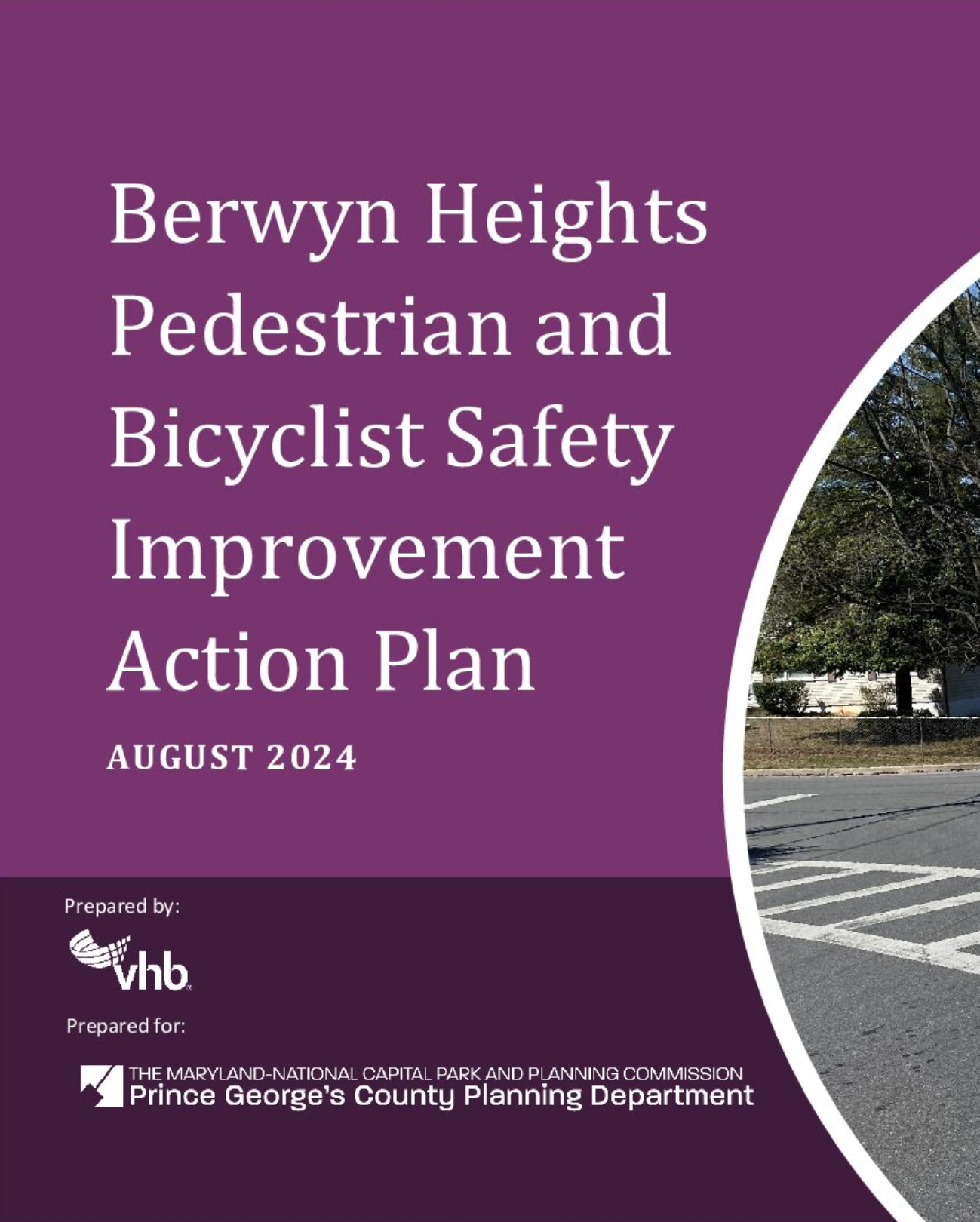
2024 Berwyn Heights Pedestrian and Bicycle Safety Improvement Action Plan
Author:
The Maryland-National Capital Park and Planning Commission<
Prince George's County Planning Department
Publication Date:
08/14/2024
Source of Copies:
The Maryland-National Capital Park and Planning Commission
1616 McCormick Drive,
Largo, MD 20774
Number of Pages:
60
Berwyn Heights, a municipality in northwest Prince George’s County, Maryland, established a Quality-of-Life Commission in 2018 to address community concerns, particularly on pedestrian and bicyclist safety. This led to the creation of the Walkable Bikeable Berwyn Heights Task Force, which issued a report in February 2020 with specific recommendations. In fall 2021, the town sought funding from the Prince George’s County Planning Department’s Planning Assistance to Municipalities and Committees (PAMC) program to develop a Pedestrian and Bicyclist Safety Improvement Action Plan. Approved in May 2022, the project began in January 2023, aiming to enhance safety and accessibility through prioritized investments and a toolkit for additional safety treatments.
Related Documents:
2009 Countywide Master Plan of Transportation
Title:
2009 Countywide Master Plan of Transportation
Author:
The Maryland-National Capital Park and Planning Commission<
Prince George's County Planning Department
Source of Copies:
The Maryland-National Capital Park and Planning Commission
1616 McCormick Drive
Largo, MD 20774
Related Documents:
Prince George's County Population, Housing, and Economic Survey - 2023
Title:
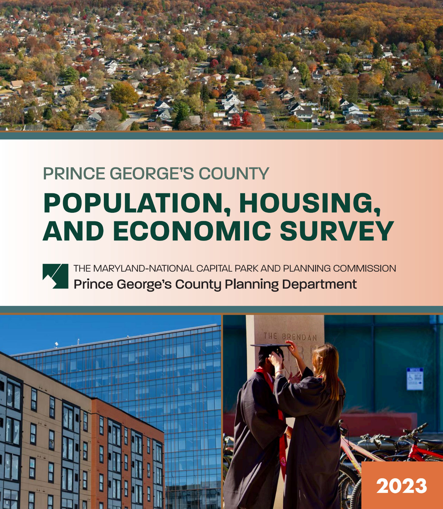
Prince George's County Population, Housing, and Economic Survey - 2023
Author:
The Maryland-National Capital Park and Planning Commission
Prince George's County Planning Department
Publication Date:
02/01/2024
Source of Copies:
The Maryland-National Capital Park and Planning Commission
1616 McCormick Drive
Largo, MD 20774
Number of Pages:
78
The Population, Housing, and Economic Survey is compiled and written by the Prince George’s County Planning Department and covers recent data on population, housing, social, and economic data for Prince George’s County, Maryland. It includes additional historical and comparative data with other localities of the metropolitan Washington, D.C. area. The report offers raw data with accompanying tables, graphs, or charts to show changes or trends in the data and how they are reflected in the County, all drawn from reliable and authoritative data sources. The overall purpose of the survey is to provide a convenient, organized summary and reference document for the general public, M-NCPPC, and local governments and to provide information to assist in planning and policymaking that would affect Prince George’s County. The Prince George’s County Planning Department expects to produce regular updates of the survey.
Note About the 2023 Edition of the Population, Housing, and Economic Survey: New data in this report focus on the data releases from the U.S. Bureau of the Census’s American Community Survey (ACS) for 2021 estimates as well as data from some other federal agencies (U.S. Bureau of Labor Statistics and Bureau of Economic Analysis. The ACS data reflect a 5-year sample survey (2017-2021) and is the latest ACS data available. We urge readers and those who use this report as a resource for research not to make direct comparisons to previous editions of the report when analyzing data about Prince George’s County to avoid errors or misinterpretations. In recent years, lower response rates to the survey, both locally and nationally, do not allow for statistically sound, annual analyses of data about the County or many other locations and jurisdictions. We accommodate this by providing and analyzing 2021 data in the proper context. For further information and explanation, please refer to the methodology section at the end of this report.
Related Documents:
Transportation Review Guidelines: Part 1 and 2 - 2022
Title:
Transportation Review Guidelines: Part 1 and 2 - 2022
Author:
The Maryland-National Capital Park and Planning Commission<
Prince George's County Planning Department
Source of Copies:
The Maryland-National Capital Park and Planning Commission
14741 Governor Oden Bowie Drive
Upper Marlboro, MD 20772
Number of Pages:
79
The primary purpose of the Transportation Review Guidelines Part 1 and Part 2 2022 Supplement (Supplement) is to provide the technical standards for evaluating the adequacy of transportation facilities by the Prince George’s County Planning Board according to the Zoning Ordinance and Subdivision Regulations effective April 2022. It also documents processes and procedures to review development plans and area master plans. The Supplement establishes criteria by which staff and applicants with land development proposals can assess the transportation impacts related to development proposals. They also indicate how information will be presented to the Planning Board.
This document is divided into two parts. Part 1 is further organized in 10 sections. Section 1 describes the process of gathering existing data and submitting studies; it also includes a glossary of transportation terms. Section 2 summarizes study requirements for the various types of applications. Section 3 details the methodology to be used in performing the traffic study. Sections 4–6 describe the use of a system of trip credits related to design as well as off-site transit, pedestrian, and bicycle facilities. Section 7 documents transportation modeling procedures and a tier system to guide developers for implementing mitigation strategies and actions. Section 8 includes the County Council’s guidelines for mitigation actions when mitigation action does not result meeting LOS standards. Section 9 specifies several processes for reviewing plans that are not traffic impact studies. Section 10 denotes the implementation and applicability of the updated guidelines. Part 2 guides the determination of adequacy of bicycle and pedestrian facilities.
Westphalia Scorecard
Title:
Westphalia Scorecard
Author:
The Maryland-National Capital Park and Planning Commission<
Prince George's County Planning Department
Source of Copies:
The Maryland-National Capital Park and Planning Commission
14741 Governor Oden Bowie Drive
Upper Marlboro, MD 20772
Number of Pages:
8
Related Documents:
2022 Approved Bowie-Mitchellville and Vicinity Master Plan
Title:
2022 Approved Bowie-Mitchellville and Vicinity Master Plan
Author:
The Maryland-National Capital Park and Planning Commission
Prince George's County Planning Department
Publication Date:
03/01/2022
Source of Copies:
The Maryland-National Capital Park and Planning Commission
1616 McCormick Drive
Largo, MD 20774
Number of Pages:
364
The 2022 Approved Bowie-Mitchellville and Vicinity Master Plan recommends directing future growth to the Plan 2035-designated Bowie Local Town Center (at the US 50/301 and MD 3 interchange) and Bowie State University MARC Campus Center, expanding economic development opportunities along MD 450 at Free State Shopping Center/Bowie Marketplace, and the Collington Local Employment Area, revitalizing Old Town Bowie, and strategically investing along US 301/MD 3, MD 450, and MD 197. The plan recommends preserving rural character and sensitive environmental features within the County’s Rural and Agricultural Area. The plan includes land use concepts and illustrative sketches for parts of Bowie Local Town Center, Bowie State University MARC Campus Center, Old Town Bowie, and Free State Shopping Center/Bowie Marketplace. The plan also includes an implementation matrix, clearly illustrating the timeline, and necessary partnerships to implement the vision for Bowie-Mitchellville and Vicinity over the next 25 years.
MD 704 (Martin Luther King Jr. Hwy) Streetscape Enhancement 30% Design and Engineering Report

Title:
MD 704 (Martin Luther King Jr. Hwy) Streetscape Enhancement 30% Design and Engineering Report
Author:
The Maryland-National Capital Park and Planning Commission<
Prince George's County Planning Department
Publication Date:
10/01/2019
Source of Copies:
The Maryland-National Capital Park and Planning Commission
14741 Governor Oden Bowie Drive
Upper Marlboro, MD 20772
Number of Pages:
36
The Maryland-National Capital Park and Planning Commission, Prince George’s County Planning Department, Community Planning Division has initiated a project through the Planning Assistance to Municipalities and Communities (PAMC) program to identify and design streetscape improvements along MD 704 (Martin Luther King Jr. Highway) within the limits of the City of Seat Pleasant. In 2012, the Maryland State Highway Administration (MDOT-SHA) awarded a project to construct a road diet along MD 704 (Martin Luther King Jr. Highway) from Eastern Avenue/Washington, D.C. Line to Hill Road under contract number PG6995176. The MDOT-SHA project reduced the number of through lanes from three to two in each direction from Addison Road (South) to west of Hill Road. Through the limits of the lane reduction, a seven-foot-median shoulder was established with pavement markings in each direction. The PAMC project seeks to repurpose the additional marked median space and utilize available right-of-way to better accommodate all modes of transportation. This report describes the goals, history, and recommendations for the MD 704 (Martin Luther King Jr. Highway) Streetscape Enhancement project. This project was funded through the PAMC program administered by the Prince George’s County Planning Department.
Related Documents:
Looking Back, Moving Forward

Title:
Looking Back, Moving Forward
Author:
The Maryland-National Capital Park and Planning Commission<
Prince George's County Planning Department
Publication Date:
12/01/2012
Source of Copies:
The Maryland-National Capital Park and Planning Commission
14741 Governor Oden Bowie Drive
Upper Marlboro, MD 20772
Number of Pages:
92
This report begins the process of providing necessary background information as the Prince George’s County Planning Department undertakes the task of updating the 2002 Prince George’s County Approved General Plan. Looking Back, Moving Forward analyzes the goals, policies, and strategies of the 2002 General Plan and measures the county’s success over the past ten years in achieving its established land use benchmarks. This report identifies county land use challenges and opportunities related to development pattern, environmental infrastructure, transportation infrastructure, public facilities, economic development, housing and community character. It also summarizes national, regional, as well as county economic and demographic trends; and starts to identify important questions about where and how the county will grow over the next 20 years.
Related Documents: