Publications
Comprehensive Management Plan, Western Branch, Prince George's County, Maryland

Title:
Comprehensive Management Plan, Western Branch, Prince George's County, Maryland
Author:
The Prince George's County Stormwater Management Technical Group
Publication Date:
01/01/1981
Source of Copies:
The Maryland-National Capital Park and Planning Commission
14741 Governor Oden Bowie Drive
Upper Marlboro, MD 20772
Number of Pages:
130
The objective of this management plan is to minimize the magnitude and frequency of flooding and related problems in the watershed. In formulating this objective, several functional constraints were imposed.
Related Documents:
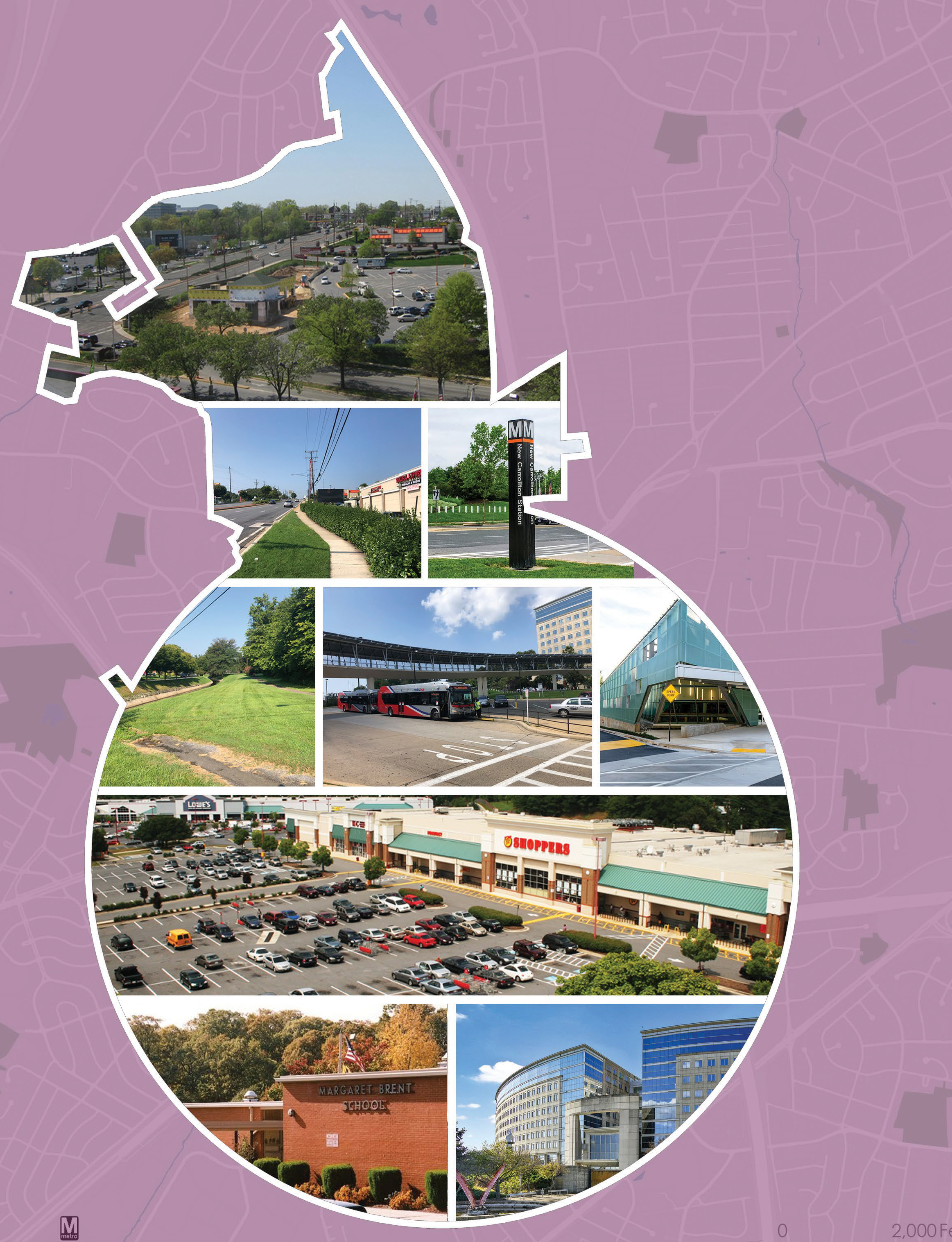
2021 City of New Carrollton Economic Development Strategy
Title:
2021 City of New Carrollton Economic Development Strategy
Author:
The Maryland-National Capital Park and Planning Commission
Prince George's County Planning Department
Publication Date:
06/01/2021
Source of Copies:
The Maryland-National Capital Park and Planning Commission
14741 Governor Oden Bowie Drive
Upper Marlboro, MD 20772
Number of Pages:
46
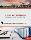
The economic development strategy addresses many issues including commercial tenant retention and attraction, assistance to enhance retailers’ ability to compete, assistance to retailers as they recover from the COVID-19 shutdown, ways to better link New Carrollton businesses and sites to the enhanced activity and investment at the New Carrollton Metro Station, potential redevelopment sites in and adjacent to the city, tools to support existing businesses and attract additional businesses and property owners, and recommended short- and long-term actions.
Related Documents:
City of Hyattsville Hamilton Street/Jefferson Street Artway North Plan

Title:
City of Hyattsville Hamilton Street/Jefferson Street Artway North Plan
Author:
The Maryland-National Capital Park and Planning Commission
Prince George's County Planning Department
Publication Date:
07/01/2006
Source of Copies:
The Maryland-National Capital Park and Planning Commission
14741 Governor Oden Bowie Drive
Upper Marlboro, MD 20772
Number of Pages:
25
This report was prepared by the Community Planning Division of the Prince George’s County Planning Department through the Planning Assistance to Municipalities and Communities program in response to a request by the City of Hyattsville to develop streetscape standards and identify locations for public art along a pedestrian connection between Baltimore Avenue (US 1) and Ager Road at the West Hyattsville Metro Station entrance. The pedestrian route is to be known as Artway North and traverses Hamilton and Jefferson Streets within Hyattsville.
Related Documents:
2021 City of College Park Complete and Green Streets Implementation Plan: 30 Percent Design for Five Street Segments
Title:
2021 City of College Park Complete and Green Streets Implementation Plan: 30 Percent Design for Five Street Segments
Author:
The Maryland-National Capital Park and Planning Commission
Prince George's County Planning Department
Publication Date:
03/01/2021
Source of Copies:
The Maryland-National Capital Park and Planning Commission
14741 Governor Oden Bowie Drive
Upper Marlboro, MD 20772
Number of Pages:
95
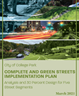
The purpose of this report is to advance the goals and priorities outlined in the 2016 policy by prioritizing further street segments for reconstruction and providing 30 percent plans and cost estimates. Products summarized in this report will be used to gather community consensus through outreach, apply for grants, develop final designs, and advance projects to construction.
Related Documents:
2022 City of College Park Age-Friendly Action Plan
Title:
2022 City of College Park Age-Friendly Action Plan
Author:
The Maryland-National Capital Park and Planning Commission
Prince George's County Planning Department
Publication Date:
09/01/2022
Source of Copies:
The Maryland-National Capital Park and Planning Commission
14741 Governor Oden Bowie Drive
Upper Marlboro, MD 20772
Number of Pages:
100
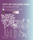
This document details the goals, objectives and action items that should be considered by the City of College Park as it strives to improve its age-friendliness in each of five areas: housing, transportation, communication and information, social participation, and health services and community support.
Related Documents:
Central Avenue-Metro Blue Line Corridor TOD Implementation-Market and Transit-Oriented Development Potential, Priorities, and Strategies Study

Title:
Central Avenue-Metro Blue Line Corridor TOD Implementation-Market and Transit-Oriented Development Potential, Priorities, and Strategies Study
Author:
The Maryland-National Capital Park and Planning Commission
Prince George's County Planning Department
Publication Date:
07/01/2014
Source of Copies:
The Maryland-National Capital Park and Planning Commission
14741 Governor Oden Bowie Drive
Upper Marlboro, MD 20772
Number of Pages:
244
The Market and Transit-Oriented Development (TOD) Potential, Priorities, and Strategies Study will support the Subregion 4 Central Avenue-Metro Blue Line Corridor TOD Implementation Project. Planning at the station level will be formed by corridor-level planning and will include an analysis of the development potential at the following Blue Line Metro Stations: Capitol Heights, Addison Road-Seat Pleasant, and Morgan Boulevard. Development opportunities at the Largo Town Center station are further defined in the 2013 Approved Largo Town Center Sector Plan and Sectional Map Amendment. The Preliminary Subregion 4 Master Plan and Proposed Sectional Map Amendment encourages “medium to medium-high density, mixed-use, transit and pedestrian-oriented development.”
Related Documents:
Central Avenue-Metro Blue Line Corridor TOD Implementation Project Mobility Study

Title:
Central Avenue-Metro Blue Line Corridor TOD Implementation Project Mobility Study
Author:
The Maryland-National Capital Park and Planning Commission
Prince George's County Planning Department
Publication Date:
07/01/2013
Source of Copies:
The Maryland-National Capital Park and Planning Commission
14741 Governor Oden Bowie Drive
Upper Marlboro, MD 20772
Number of Pages:
349
Phase 3 of the Central Avenue Transit-Oriented Development (TOD) Mobility Study was initiated in order to investigate needs along the corridor and prepare guidance that would assist the Prince Georges County Planning Department and The Maryland-National Capital Park and Planning Commission (M-NCPPC) with implementing the approved Subregion 4 Sector Plan. The effort included an analysis of the existing transportation network including roadways, pedestrian, bicycle, and transit facilities; refinement of feasible transportation solutions; review of existing county design guidelines and policies; and tailoring of broad Complete Streets policies to specifically implement concepts in the study area.
Related Documents:
Central Avenue-Metro Blue Line Corridor TOD Implementation Project Mobility Study

Title:
Central Avenue-Metro Blue Line Corridor TOD Implementation Project Mobility Study
Author:
The Maryland-National Capital Park and Planning Commission
Prince George's County Planning Department
Publication Date:
05/01/2014
Source of Copies:
The Maryland-National Capital Park and Planning Commission
14741 Governor Oden Bowie Drive
Upper Marlboro, MD 20772
Number of Pages:
349
Phase 3 of the Central Avenue Transit-Oriented Development (TOD) Mobility Study was initiated in order to investigate needs along the corridor and prepare guidance that would assist the Prince George’s County Planning Department and The Maryland-National Capital Park and Planning Commission (M-NCPPC) with implementing the approved Subregion 4 Sector Plan. The effort included an analysis of the existing transportation network including roadways, pedestrian, bicycle, and transit facilities; refinement of feasible transportation solutions; review of existing county design guidelines and policies; and tailoring of broad “Complete Streets” policies to specifically implement concepts in the study area.
Related Documents:
Central Avenue Connector Trail Feasibility Study and Implementation Plan

Title:
Central Avenue Connector Trail Feasibility Study and Implementation Plan
Author:
The Maryland-National Capital Park and Planning Commission
Prince George's County Planning Department
Publication Date:
12/01/2015
Source of Copies:
The Maryland-National Capital Park and Planning Commission
14741 Governor Oden Bowie Drive
Upper Marlboro, MD 20772
Number of Pages:
140
The Central Avenue Connector Trail (Connector Trail) Feasibility Study and Implementation Plan was initiated in order to assist The Maryland-National Capital Park and Planning Commission (M-NCPPC), Prince Georges County Planning Department in establishing a non-motorized trail project in the Central Avenue Corridor to support the implementation of (recommendations made in) the 2010 Subregion 4 Master Plan and Sectional Map Amendment and 2014 Central Avenue-Metro Blue Line Corridor Transit-Oriented Development (TOD) Implementation Project Mobility Study. Developed with the assistance of the community, property owners, residents, elected officials, and state and County agency representatives, this document outlines a proposed trail alignment, provides a description of existing conditions, and illustrates an overall vision for the project. Additionally, this report explores various approaches to implementation including community engagement, phasing, cost-estimates for preliminary engineering, and potential funding opportunities. Detailed information on the Trail Alignment, Design, and Features, including maps and descriptions of the proposed trail alignment, alternative alignments, and information on key design elements such as Americans with Disabilities Act (ADA)-compliance and safety, and overall concepts relating to health & wellness, mobility, transit access, and economic development, can be found herein.
Related Documents:
Broad Creek Historic District-Livingston Road Streetscape Guidelines and Alternatives
Title:
Broad Creek Historic District-Livingston Road Streetscape Guidelines and Alternatives
Author:
The Maryland-National Capital Park and Planning Commission
Prince George's County Planning Department
Publication Date:
10/01/1995
Source of Copies:
The Maryland-National Capital Park and Planning Commission
14741 Governor Oden Bowie Drive
Upper Marlboro, MD 20772
Number of Pages:
126
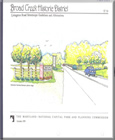
This report summarizes the visioning process and results of a four-month study focused on maintaining the rural character of the Broad Creek Historic District, specifically the Livingston Road corridor between Old Fort Road to the north and Fort Washington Road to the south. The project was carried out under the Planning Department’s FY 1995 Community Preservation and Design Workshops Work Program. This document was prepared as a supporting element to the original Broad Creek Historic District Design Guidelines, produced by the Historic Preservation Section and Broad Creek Historic District Advisory Committee in 1987 and approved by the District Council in 1988. Included in this report is a set of documents and plans that portray the design ideas and goals of the Broad Creek Historic District Advisory Committee and local residents. This report is divided into five parts, each containing photographs, charts, drawings and maps produced through the visioning process and pertaining to the Livingston Road Streetscape. Each part contains information which allows the reader to follow the community visioning process from the beginning of brainstorming ideas to the final design proposals and recommended courses of action. A supplemental appendix section provides plant suggestions for the Livingston Road streetscape.



 Comprehensive Management Plan