Publications
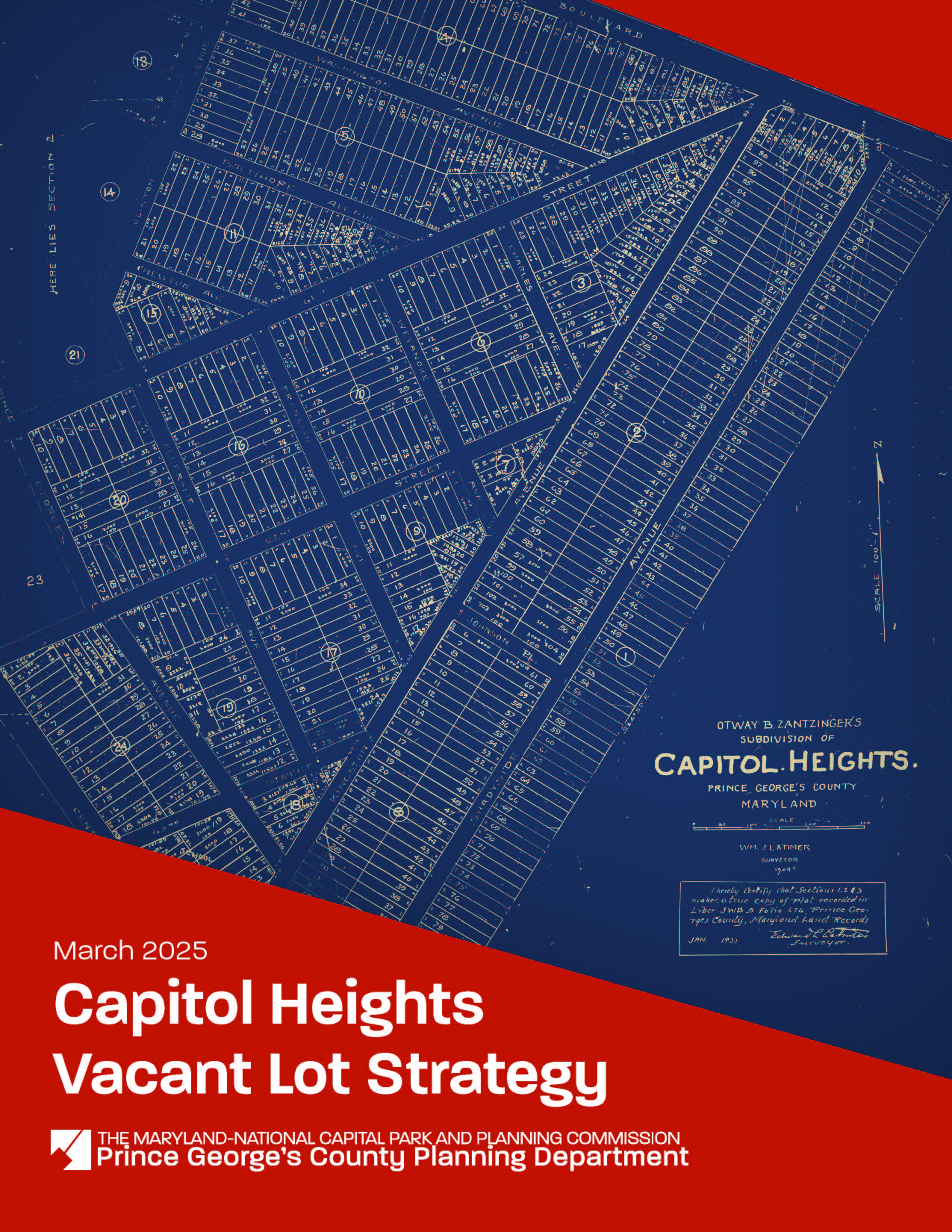
Capitol Heights Vacant Lot Strategy
Title:
Capitol Heights Vacant Lot Strategy
Author:
The Maryland-National Capital Park and Planning Commission<
Prince George's County Planning Department
Source of Copies:
The Maryland-National Capital Park and Planning Commission
1616 McCormick Drive
Largo, MD 20774
Number of Pages:
78
This document is a Vacant Lot Strategy for the Town of Capitol Heights, a small municipality located in Prince George’s County, Maryland, incorporated in 1910 (Planning Area 75B, Councilmanic District 7). In fall 2021, the Town applied to the Prince George’s County Planning Department’s Planning Assistance to Municipalities and Communities (PAMC) program to fund this strategy. PAMC funding was approved by the Prince George’s County Planning Board on May 26, 2022, and the project kicked off on January 13, 2023. The strategy
establishes a Vacant Lot Inventory; identifies existing regulatory, environmental, maintenance, and financial challenges; and provides goals and recommendations for maintaining, repurposing, and/or developing vacant lots. The Capitol Heights Vacant Lot Strategy aligns with
past and ongoing planning efforts by the Town, the County, and the greater Washington, DC region to support livable and transit-oriented communities.
Related Documents:
 Capitol Heights Vacant Lot Strategy
2008 Approved Capitol Heights Transit District Development Plan and Transit District Overlay Zoning Map Amendment
Title:
2008 Approved Capitol Heights Transit District Development Plan and Transit District Overlay Zoning Map Amendment
Author:
The Maryland-National Capital Park and Planning Commission
Prince George's County Planning Department
Lee and Associates
Publication Date:
07/01/2008
Source of Copies:
The Maryland-National Capital Park and Planning Commission
14741 Governor Oden Bowie Drive
Upper Marlboro, MD 20772
Number of Pages:
128
This document contains text and maps of the approved transit district development plan (TDDP) and transit district overlay zoning map amendment for the Capitol Heights Metro Station and vicinity. This plan contains a new TDOZ and transit district overlay zone (TDOZ) and amends portions of the 1993 Approved Master Plan and Sectional Map Amendment for Landover and Vicinity (Planning Area 72) and the 1986 Approved Master Plan for Suitland-District Heights and Vicinity, Planning Areas 75A and 75B. Developed by M-NCPPC with the assistance of the community, this plan contains a comprehensive development vision, development review process requirements, and form-based development standards and guidelines. Together, these elements comprise the Capitol Heights Transit District Development Plan (TDDP). It controls and guides the use and development of all land within the Transit District Overlay Zone (TDOZ) from the initial submittal of plans to the issuance of permits. Together, the TDOZ and TDDP are intended to foster transit-oriented development that increases the use of public transit, maximizes return on investment in transit facilities and services, encourages appropriate development near transit stations with coordinated urban design elements, and increases local tax revenues.